
Malawi is a landlocked country in Southeastern Africa, situated west and north of Mosambique, to the south of Tanzania and to the east of Zambia. The topography consists of highlands split by the Great Rift Valley and enormous Lake Malawi - the third largest lake in Africa. Malawi is among the world's least-developed countries. The economy is heavily based on agriculture and fisheries. Malawi is every year exposed to severe floodings with severe damages to infrastructure and loss of lives.
We cooperate with Department of Climate Change and Meteorological Services (DCCMS), which is the national meteorological institute in Malawi and member of WMO.
MET Norway also act as peer-advisors to Malawi in the SOFF program.
Our other project in Malawi is named Sarepta, “Institutional support and capacity building for Weather and Climate Services”. The project started in 2023 and is funded by Norad. Sarepta-Malawi is a continuation of a previous project.
Our common goal under the Sarepta project is to build competence at DCCMS to improve the quality of weather forecast and climate services in order to improve the country´s preparedness and prevention capacity to weather variability and extremes.
The work in Sarepta Malawi is mainly centered around the development of a weather app, including technical competence, design and using user feedback in the development process. Verification of forecasting models is performed to give a basis for choosing the best weather forecast to communicate. Extreme weather warnings are important to communicate both through the app and other channels. Diana may be a useful tool both in the everyday work of the forecasters and to create images to communicate to users. Thus, all the different activities are connected to each other to some extent, but also have a value on their own.
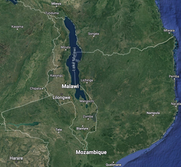 Map of Malawi
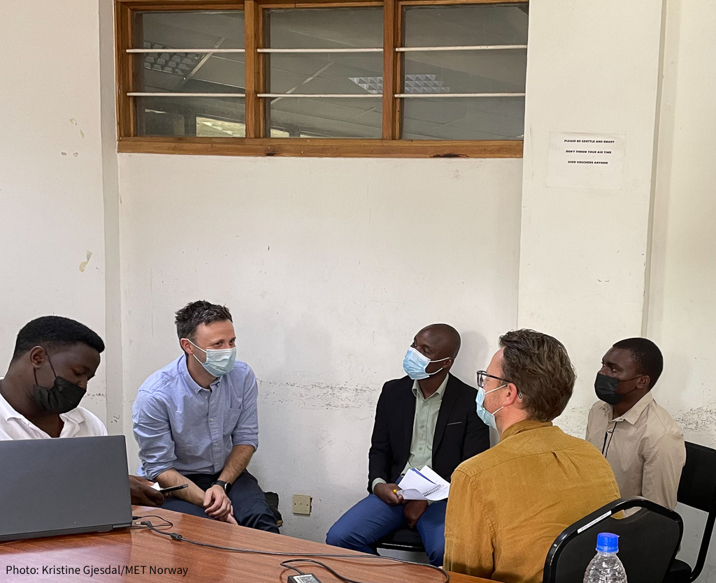 Workshop at DCCMS