
Vietnam is located in Southeast Asia and has a population of about 90 million, a long coastline and a complex topography. There are two weather phenomena that particularly cause damage and loss of life in the country, namely extreme rain and storm surge. Extreme rain may result in flooded rivers and landslides, while storm surge results in erosion, damage of property and drowning accidents along the coast. Vietnam has a sophisticated public weather service. However, there is a lack of staff with experience in modern weather forecasting methods like use of numerical models and digital visualization and forecast verification.
Our project in Vietnam is Sarepta, “Institutional support and capacity building for Weather and Climate Services”. The project started in 2023 and is funded by Norad. The project is a continuation of a previous project.
MET Norway collaborates with the National Hydro-Meteorological Service of Vietnam (NHMS) which is the national meteorological institute in Vietnam. NHMS has the national responsibility for weather forecasting and climate services in Vietnam. Based on their needs, and in collaboration with them, our common goal is to increase the quality of weather forecasting and climate services, strengthen the country's preparedness and prevention capacity in relation to the forces of nature, and improve the ability to adapt important national infrastructure to climate change.
The climate challenges in the region are great and the work aims to put the partner institutions in the best possible position to provide useful services to both public administration and the general population. Collaboration with NHMS focuses on implementing and use of open source forecasting tools. We use the tools Diana, Tseries, R, ocean- and wave models (ROMS og SWAN) and OpenDrift. OpenDrift is an open source code developed at MET Norway with modules for e.g. oil spills, search and rescue and marine plastic. OpenDrift is in operational use in Vietnam. Modeling marine garbage will be important in the future. Together we also work with verification of heavy precipitation, storm surge and waves. To verify wave forecasts we use open source tool Wavy, developed at MET Norway.
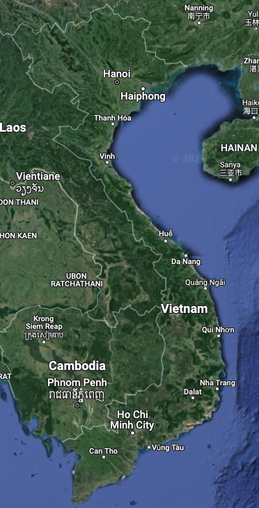 Map over Vietnam
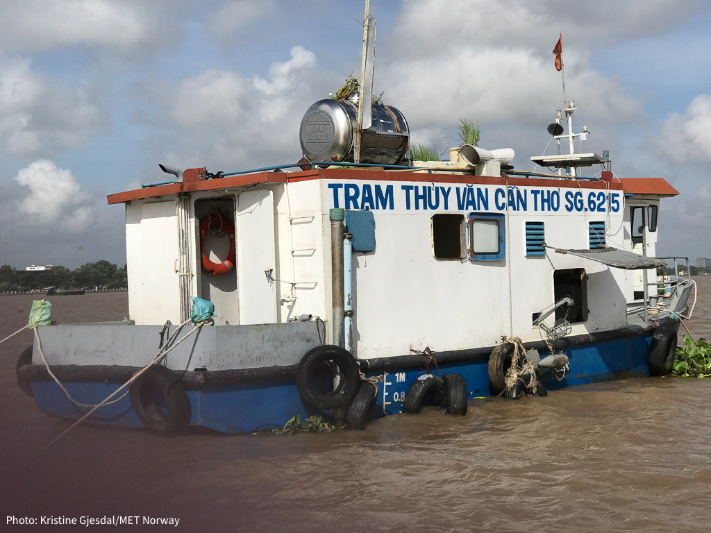 Measuring current and tide at the Mekong river